A Guide To Japan’s Northern Alps | CoolJapan

It is summertime in Japan and nature is burgeoning with life. Time to reconnect with the great outdoors and explore the spectacular Northern Japanese Alps!
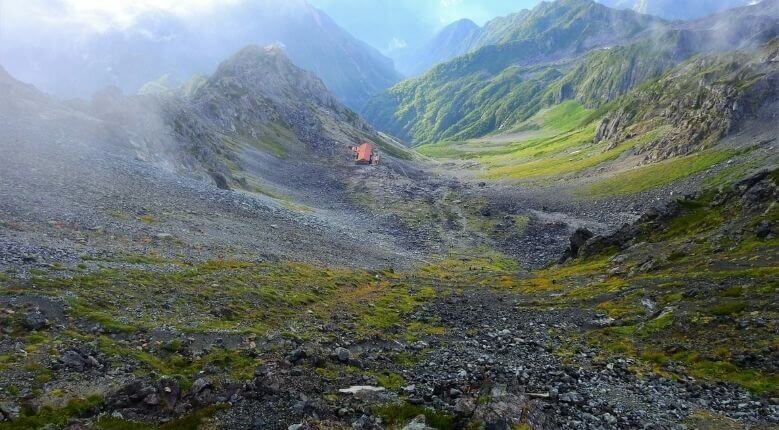

Yarisawa Valley

The striking landscape of the Yarisawa Valley that forms part of the Japan Northern Alps (Photo from: K.M=KARIBITO)


The Northern Alps is a modern name coined by English archaeologist and avid mountaineer, William Gowland. But its history actually goes way back. Known to the locals as Hida Mountains, this is a spiritual place that has been visited by Buddhist monks since ancient times.

This massive mountain range stretches across Toyama, Nagano and Gifu prefectures. Deep craggy valleys and peaks that soar up 3,000 meters above sea level intertwine with vibrant flora and fauna. You are in for a visual treat.

A Great Way To Enjoy Japan’s Summer Season
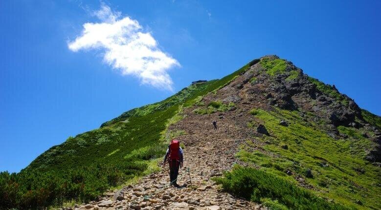

Mt. Akadake

The peak of Mt. Akadake, the primary peak of Yatsugatake Mountains (Photo from: kuromenbou)


The climbing season usually starts from July to October, when the weather gets warmer. Breathtaking alpine scenery and delightfully cool air revitalise its climbers, even during summer.

Whether you are an expert climber or an amateur who just enjoys walking, Japan’s Northern Alps has something to offer. There is a good variety of scenic hiking trails that are categorised according to the alphabets A to E, with A being the easiest and E being the most physically challenging.


Easy Trails Suitable For All Ages


Kamikochi, a remote valley located within the Chubu Sangaku National Park, is a popular starting point for trekkers. If you only have time for a day trip, get off at Taisho Pond station and take a leisure walk up to Kamikochi Bus Terminal. Along the way, you can check out some must-see spots such as Taisho Pond, Tashiro Pond and Kappabashi.
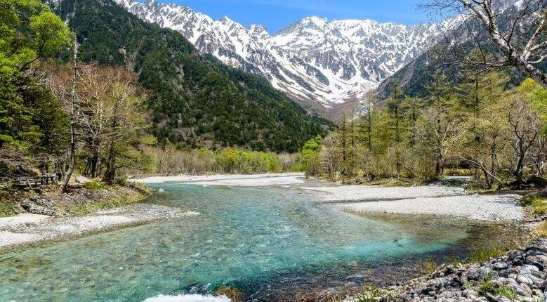

Azusa River that flows through Kamikochi

The meandering Azusa River that flows through Kamikochi. Photo from: Domenico Convertini/CC BY-SA 2.0


If you are in the mood, you can even hike up higher to explore a picturesque sanctuary that makes up Myojin pond, Myojin Bridge and the water-facing Hotaka Shrine. This will be another two to three hours round-trip from Kamikochi Bus Terminal but the view is definitely worth it.

Kamikochi Day Trip Difficulty Level: A
Distance: Between 4.5 - 12km


For those who want to experience a mountain lodge, you can hike to Yokoo area and spend a night at Yokoo Sanso. This route is relatively flat and only takes a 3 hour relaxing walk from the Kamikochi Bus Terminal. Although it is an easy walk, it gives you a good dose of exercise and nature. Great for day trippers as well!


As it is a popular base camp to get to other parts of the Northern Alps, there is a buzz of excitement when hikers get ready to set off in the morning. Even if you are not continuing the journey up harder terrains, Yokoo presents visitors with great views of the towering Mt. Maehotakadake.

Yokoo Difficulty Level: A
Distance: 11km


Ultimate Trails For Hiking Aficionados


Included in most avid hikers’ bucket list, the Kamikochi-Yari-Hotaka Circuit is a bragging right for those who have conquered it. This gruelling journey takes climbers through a 1675 meters elevation change but it encapsulates the essence of the dramatic Japanese Northern Alps.


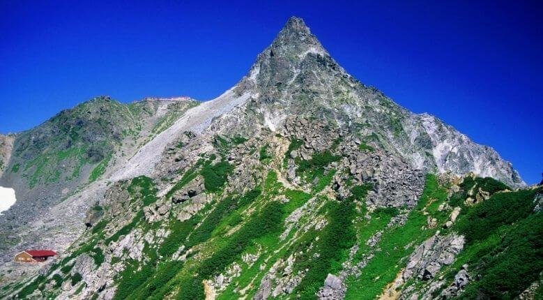
Mt. Yarigatake

Mt. Yarigatake, seen from Higashikama ridge. (Photo from: Wikipedia.org)


It starts off gently from Kamikochi but the terrain gets way harder on the trek up to Mt. Yarigatake. Intermediate climbers can choose to return down after attempting the precarious hike up to the summit of Yarigatake, where a jaw-dropping landscape of the Northern Alps awaits.

But, the serious hikers get their boost of adrenalin from pushing it on to the Hotaka peaks via the legendary Daikiretto. It is a perilous trail along the Hotaka ridgeline that is steep, narrow and exposed to the elements. The ultimate goal on this trail is Mt. Okuhotaka-dake (third tallest mountain in Japan) and those who reach it are rewarded with a stunning view above a sea of clouds.


Kamikochi-Yari Round Trip Difficulty

Level: C Distance: 22km


Yari-Hotaka Circuit Difficulty Level: E
Distance: Around 35km


Another challenging trail that will appeal to thrill-seekers is the Tateyama Kurobe Alpine Route. The full 90km route takes you from Toyama to Nagano Prefecture and is an exciting journey that includes many breathtaking pit stops. There are also easier variations of this arduous Northern Alps route that promise equally impressive panoramic landscapes.


Before the summer season ends, let’s get hiking and create wonderful memories spent in Japan’s Northern Alps!

READ MORE ON THIS TOPIC